Unfortunately, the Washington lowlands are often in this marginal temperature regime and will be so for the rest of this week. In these situations, the upper reaches of our local hills (above say 400 ft) can have (wet) snow, while rain or a wintry mix hit near sea level. Being near the (relatively) warm water of Puget Sound, Lake Washington, and the Strait is also a problem.
The picture below shows a typical example of this meteorological frustration, looking northward from the UW towards Capitol Hill. All white at the top. No snow at the bottom.

During this period, it is critical to know the difference between freezing level and snow level. Freezing level is the first elevation above the surface where the temperature drops below freezing. Precipitation generally starts as snow aloft and then falls through the freezing level, beneath which it starts to melt. It takes about 1000 ft for the snow to completely melt, and we call that level the snow level. You are now experts in this snow level business.
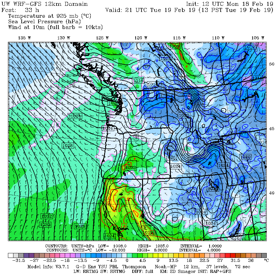
During the last snow situation, we had the right configuration to bring the freezing level to the surface, often with a low center over SW Washington drawing frigid air through the Fraser River Gap, into NW Washington, and then down into the rest of western WA.
But this week we don't and there is onshore flow at low levels. Flow off the 50F Pacific Ocean. At 10 AM this morning, the freezing level at Sea-Tac Airport was at 1333 ft, with a snow level around 350 ft. If it were precipitating now, the top of our hills could be white, while downtown Seattle would be in a cold rain. Yuk. Enough to make Amazon folks reconsider Long Island City.

This kind of flow can really dump snow in the mountains, since westerly flow has a large upslope wind component up the north-south oriented Cascades. To illustrate this, here is the accumulated snowfall through 4 PM Wednesday from the UW WRF model. The Cascades above roughly 3000 ft get a foot or more, with lighter snow extending to around 1000 ft, and maybe a bit lower where precipitation is a greater. But no snow days in Seattle.

The high-tech, high-resolution, 15 member UW ensemble system confirms this snow forecast for Sea-Tac (see below)--so we are pretty sure about this forecast.

And the vaunted European Center model has the same idea. Great for skiers, bad for kids who don't want to go to school.

But let's wait before getting excited about it and keep in mind that there is an increasing problem for low-level snow lovers: the sun is rapidly getting stronger and days are getting longer. We only have a week or two left in the lowland snow season before the sun makes serious snow impossible.

A sign of the upcoming warming is found at Garden stores and nurseries, which are already stocked with seeds, plants, and fertilizers. They will be doing a great business this spring: the heavy snow has done massive damages to trees and bushes around the region.
from Cliff Mass Weather and Climate Blog http://bit.ly/2E11OmD
No comments:
Post a Comment