
GOES-17
GOES-17 is a geostationary weather satellite, positioned over the equator at 137°W, that views the earth from 22,000 miles above the surface. It is scheduled to go operational next week (December 10th) and will then be known as GOES-W. For acronym lovers, GOES stands for Geostationary Operational Environmental Satellite. In geostationary orbit, a satellite stays above the same location of Earth.
There some great websites for viewing GOES-17 imagery, with one of my favorites being this one, which shows visible imagery during the day and infrared at night. Let me show you an image from 11:15 AM Saturday. Magnificent. And notice something? It is in color! The previous geostationary satellite was in black and white.

To get an idea of how much better the new GOES-17 satellite is than the current GOES-15, below is a comparison of the visible imagery at 9:45 AM Saturday morning.
On the top is the current visible imagery; on the bottom is GOES-17. Pretty dramatic difference!
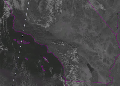

GOES-17 has roughly twice the horizontal resolution compared to the current satellite, scans the planet much more frequently, and views the earth in more wavelengths. In fact, GOES-17 views the earth in 16 wavelength bands simultaneously, each one providing different information about clouds, the atmosphere, and the surface (see below).

And GOES-17 has a major new capability: it is able to view lightning from space, sensing the lightning emitted from each pulse (watch the video below!).
In short, GOES-17 will be a major advance for weather prediction and is an example of the expensive infrastructure that acts as a foundation for modern weather forecasting.
from Cliff Mass Weather and Climate Blog https://ift.tt/2PamzQd
No comments:
Post a Comment