Air quality has greatly improved at low levels over western Washington as cool, clean marine air has pushed in at low levels. You can see this with a plot of the concentration of small particles in the air (PM2.5), the kind that can move deep into your lungs (see below for Seattle-blue color, Bellingham-red color, and Tacoma-yellow)
 |
| From the Puget Sound Clean Air Agency Website |
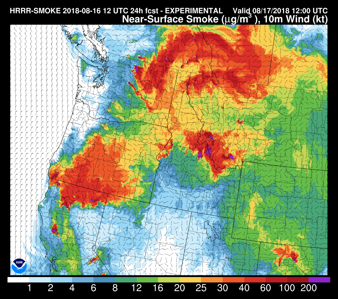
The excellent NOAA/NWS HRRR smoke model is predicting improving air quality at the surface during the next 24-h, something made clear by comparing the forecasts between 5 AM today (Friday) and tomorrow (see below, red is bad air, improving towards green, blue, and white). Worse but still improving over the eastern slopes of the Cacades.

So Saturday's air quality should be decent as well.
But then things change. Upper-level high pressure builds in along the BC coast, coupled with a low-level trough of low pressure moving northward into western WA. As a result, we will develop easterly and northeasterly flow in the lower atmosphere, bringing smoke back into the region. This is well illustrated by the forecast winds and temperatures at 850 hPa (about 5000 ft) for Monday morning at 2 AM:

The NASA GEOS-5 model shows plenty of smoke blowing south over us on Monday at 10 AM (see map)

So enjoy the clean air, things will degrade by Monday.
from Cliff Mass Weather and Climate Blog https://ift.tt/2L0C3nT
No comments:
Post a Comment