You know what I mean: no big windstorms, crippling snowstorms, heavy rain or extensive flooding. That kind of thing.
One way to see this is to plot the (sustained) winds at Sea-Tac Airport for the last 12 weeks (below). One decent event in mid-November (sustained winds reaching 32 knots), and pablum after that. Boring.

For those of you who like weather action, things will improve late tomorrow ans Saturday, but even the upcoming event will only be a modest blow. But we must take what meteorological scraps are offered to us by the weather gods.
Let me start by showing you the pressure forecasts for the next day or so. The forecast for 10 PM Friday night looks promising, with a modest low center (a Pacific cyclone of 997 hPa) off our coast. A strong pressure gradient on the Oregon coast....the will be ground zero for strong winds tomorrow evening.

By 8 AM Saturday, the low center will be making landfall on south/central Vancouver Island, with lots of pressure gradient and winds along the Washington Coast.

Want to see the wind forecasts? At 10 PM tomorrow, sustained winds as high as 45 knots are predicted about the Oregon coast.

And three hours later, strong winds will hit the Washington coast, with very strong easterlies in the western Strait of Juan de Fuca (see image). Essentially, the air is accelerating towards the offshore low within the Strait.

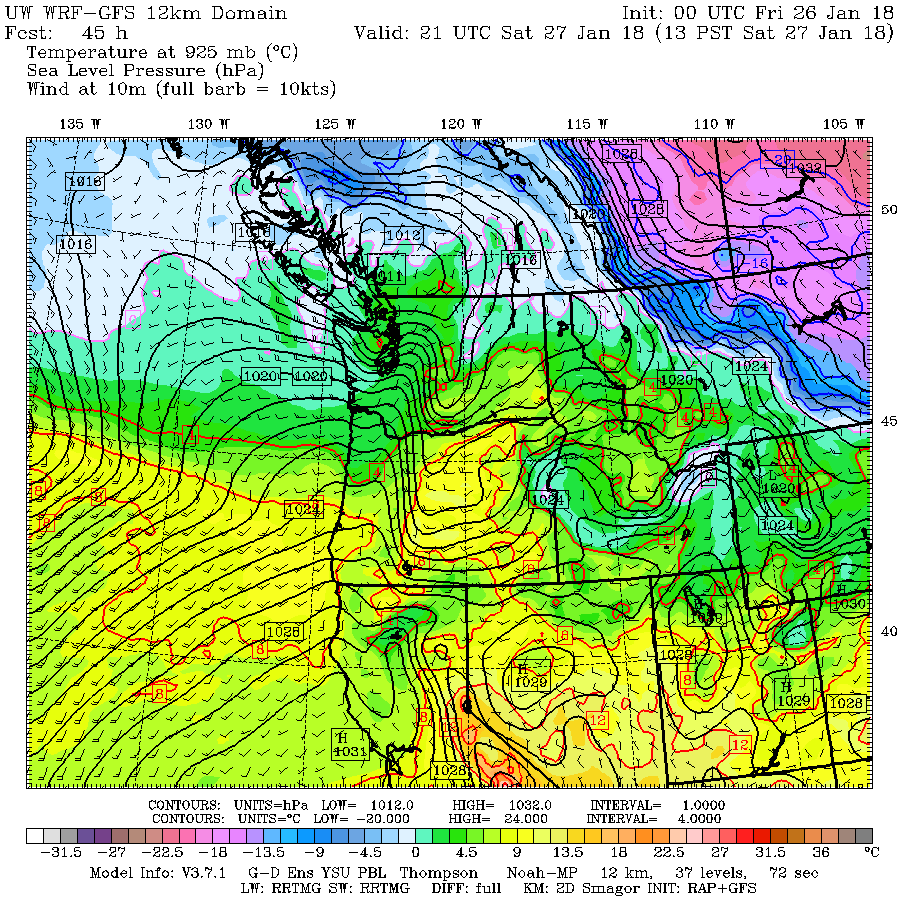
The strongest winds will hit central Puget Sound around 1 PM Saturday, something suggested by the UW WRF model forecast (see below), with gusts of 40-50 mph predicted. (Graphic from Seattle WindWatch).

OK...this is one forecast. Perhaps I should not get too excited... a small error in location of the low will have a major impact, and, in fact, the National Weather Service SREF ensemble of many forecasts has a huge amount of variation among the solutions of their forecast models, from 4 to 26 knot sustained winds during mid-day Saturday over Seattle (see below). So there is considerable uncertainty still in this forecast.

Anyway, we can watch the models tomorrow to see if they stay with this storm.
from Cliff Mass Weather and Climate Blog http://ift.tt/2EbJE0X
No comments:
Post a Comment